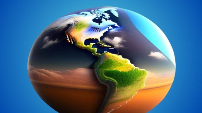
Take Earth back in time to plan projects more effectively
Perhaps you’d want to see what your area looked like a few decades ago by going back in time. Alternatively, you’d want to know how the changing climate and human activities have impacted trees. The Google new historical imagery in Google Earth on the web and mobile devices, which makes it simple to browse the Google collection of satellite and aerial images, some of which dates back as long as 80 years, will soon make all of this feasible.
You’ll notice that many locations have drastically different geographic evolutions while you go exploring. The 2018 view of Lake Oroville in northern California shows significant water shortages following years of drought. In comparison, the 2023 photo shows how a series of rains gradually filled the reservoir, allowing for water storage, electricity generating, and water activities like kayaking and swimming. You are able to see the lake’s development in remarkable detail thanks to historical images.

Longer time spans may also be used in historical images to depict significant changes. In cities such as Paris, Berlin, Warsaw, and London, you may even examine images dating back to the 1930s. Would you want to see even more changes in the world? Take a look at Time-lapse in Google Earth, an interactive feature that displays a breathtaking representation of planet’s changing over time via millions of satellite photos.
Google making it simpler for academics and groups to utilize Google Earth for initiatives, including building custom maps, in addition to assisting you in exploring Earth’s changes. it is going to provide the ability to see projects directly from Google Earth’s redesigned home page, which will facilitate teamwork even more.
Using novel AI models to enhance images
It is improving satellite imagery on Google Earth and Maps in addition to expanding its availability. You’ll notice a brighter, more colorful world starting this week because of its cloud-removal technology. With the help of Cloud Score+ AI model, which was trained on millions of photos, they were able to identify and eliminate clouds, cloud shadows, haze, and mist. Simultaneously, this model preserves the map’s depiction of actual weather conditions, such as ice, snow, and mountain shadows. As a consequence, you can see Earth with more clarity and accuracy thanks to a revised global mosaic.
Extending Street View coverage to about 80 nations
Although Street View shows more than 280 billion photos gathered from Google Street View vehicles and hikers, Google Earth offers a far larger collection of satellite and aerial photography. You can virtually visit every continent and even locations like the Great Barrier Reef and the International Space Station from the comfort of your living room using Street View. With new footage in almost 80 countries, some of which will get Street View imagery for the first time, it is now introducing one of the largest upgrades to Street View to date.
You will get the opportunity to see the stunning landscapes of Bosnia and its ancient towns, the sand dunes around Namibia’s capital, the castles and mountains of Liechtenstein, and the breathtaking rivers of Paraguay. To get a close-up look at stores and structures, you may even digitally stroll around the streets of other towns.
Across the globe, including Australia, Argentina, Brazil, Costa Rica, Denmark, France, Iceland, Japan, Mexico, New Zealand, Philippines, Rwanda, Serbia, Spain, South Africa, Switzerland, Uruguay, and many more, keep a look out for newly updated Street View photos. Furthermore, it will be simpler for us to expand Street View’s reach in the future with Google newest camera, which weighs just 15 pounds and can be mounted on any kind of vehicle. This updated imagery keeps the map relevant for everyone, even as our globe evolves.


